
Underwater landslide observations sharpen seabed hazard evidence
Canadian monitoring captures how collapsing sand generates far-reaching sediment flows
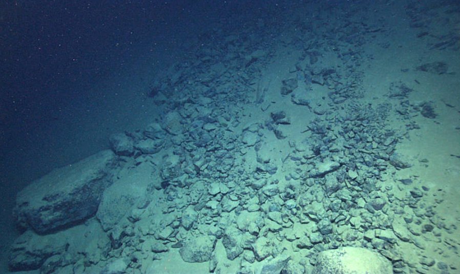
The first direct observations of fully submerged landslides have been reported in a Science study led by MBARI and Durham University, involving the National Oceanography Centre. Sonar, repeated seabed mapping and moored instruments detected around 30 events at Canada’s Homathko Delta over 18 days, capturing three in detail.
The team observed sandy sediment progressively collapsing through breaching. Suction temporarily strengthens the seabed as grains separate; its decline allows failure over minutes to hours, generating sediment flows travelling kilometres downslope. The findings could inform hazard assessments in other sandy deltas and submarine canyons, but do not establish site-specific UK risks.
Why this matters for policymakers
- Infrastructure Risk assessments should consider sediment flows extending well beyond coastal failure sites.
- Monitoring Direct seabed observations could strengthen evidence used in marine planning.
- Pollution Coastal assessments should account for rapid offshore transport of sediment, carbon and pollutants.
Image: Illustrative photograph of an underwater landslide on Mona Canyon’s east wall off Puerto Rico, recorded in 2015, not the Canadian study site. Credit: NOAA Office of Ocean Exploration and Research. NOAA Office of Ocean Exploration and Research, Océano Profundo 2015: Exploring Puerto Rico’s Seamounts, Trenches, and Troughs, Public domain. Resized and converted to JPEG for display.